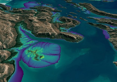
Incorporating Landsat and Sentinel-2 data, it provides an annual 10m elevation product of the intertidal zone.
The post New DEA Intertidal maps the sea/land boundary appeared first on Spatial Source.
Incorporating Landsat and Sentinel-2 data, it provides an annual 10m elevation product of the intertidal zone.
The post New DEA Intertidal maps the sea/land boundary appeared first on Spatial Source.